Unlock with Drone Ag Data
See growth trends, count and size plants, generate precision maps, and identify early indicators of plant stress. Get More Yield From Your Crops with our advanced drone technology.
Our Services
Drone Ag Data offers a range of services designed to help farmers maximize their crop yields. Our advanced drone technology provides actionable insights through growth trend analysis, plant counting, and precision mapping.
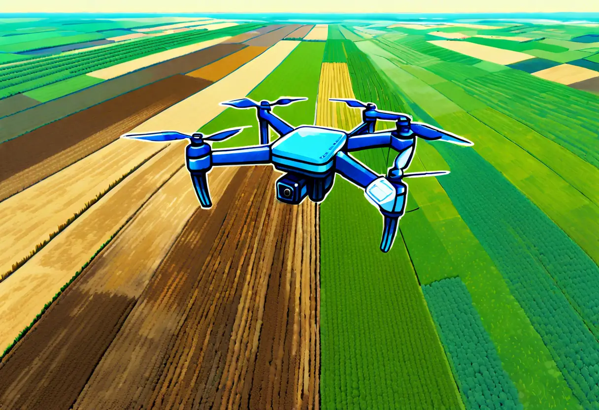
Growth Trend Analysis
Analyze growth trends across your fields to make informed decisions about crop management.
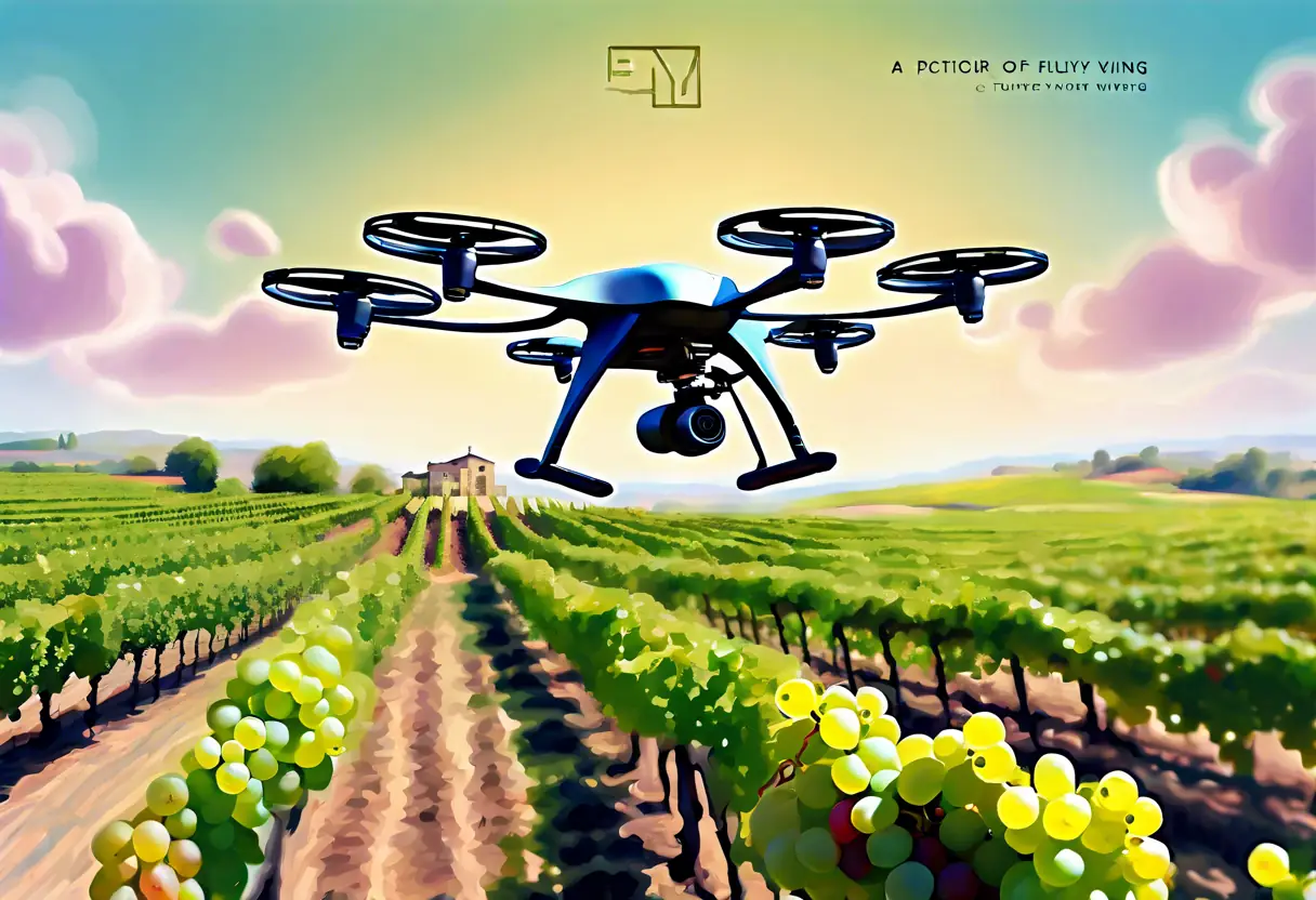
Plant Counting
Accurately count the number of plants in a given area to improve planning and resource allocation.
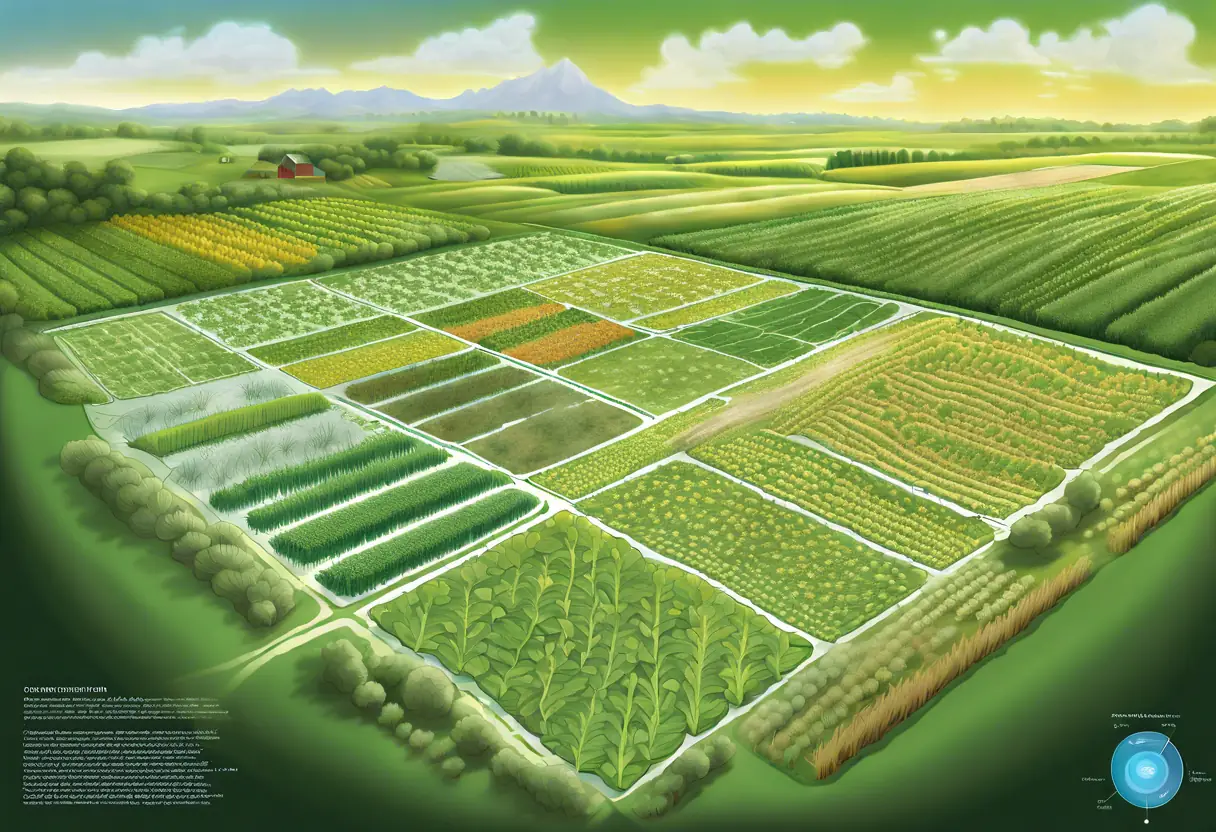
Precision Mapping
Create detailed maps of your fields to enable targeted interventions and maximize productivity.
Success Stories
Discover how our technology has transformed farming practices and boosted yields for farmers across the region.
Using Drone Ag Data's growth trend analysis, I was able to identify underperforming areas in my field and adjust my irrigation strategy, resulting in a 20% increase in yield.

The plant counting service provided me with precise data that helped me determine the best time to harvest. My profits have significantly increased since I started using their services.

The precision mapping service allowed me to apply fertilizers only where needed, reducing costs and improving my crop health. I highly recommend Drone Ag Data!

Thanks to the insights from Drone Ag Data, I was able to optimize my resource use and increase my overall yield. Their technology is a game changer!

The detailed maps provided by Drone Ag Data helped me understand the variations in my field, allowing for targeted interventions that saved me time and money.

I was amazed at how accurate the plant counting was. It has made planning and resource allocation so much easier for my team.

