Maximize Your Crop Yield with
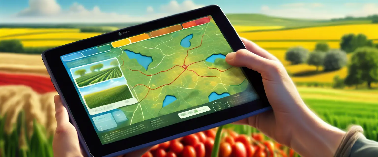
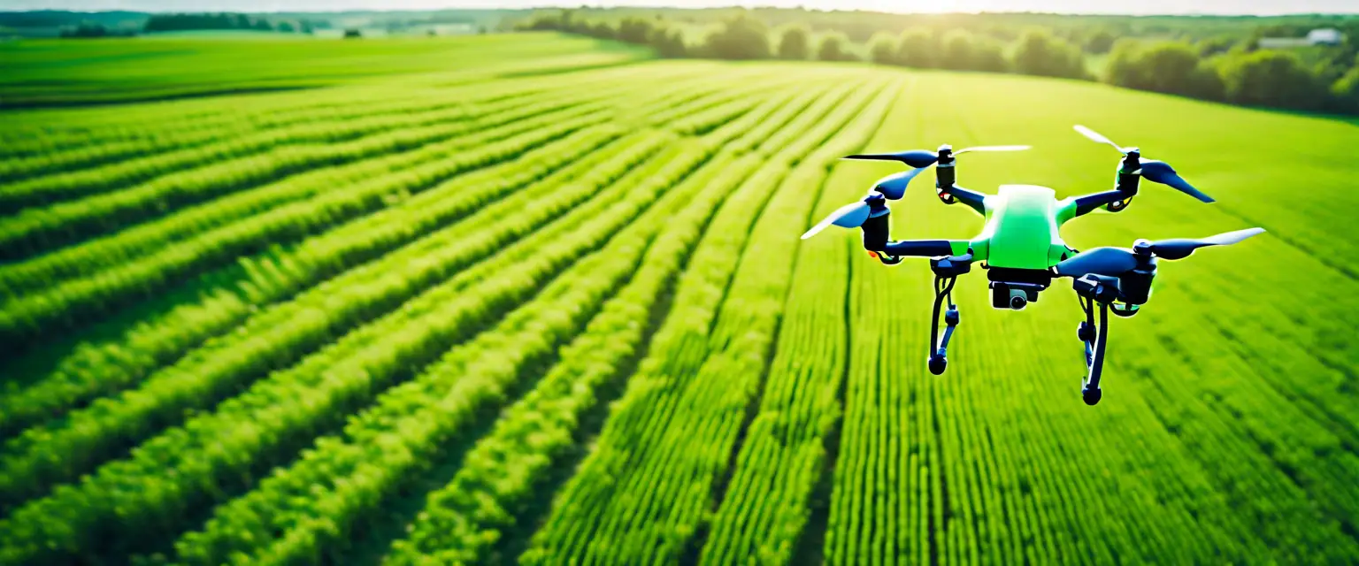
See growth trends, count, and size plants, generate precision maps, and identify early indicators of plant stress. Get more yield from your crops with our cutting-edge drone technology.
Our Key Services
Drone Ag Data offers a range of services to help you get more yield from your crops. Our services include growth trend analysis, plant counting, and precision mapping, all designed to provide you with actionable insights and improve your farming efficiency.
Growth Trend Analysis
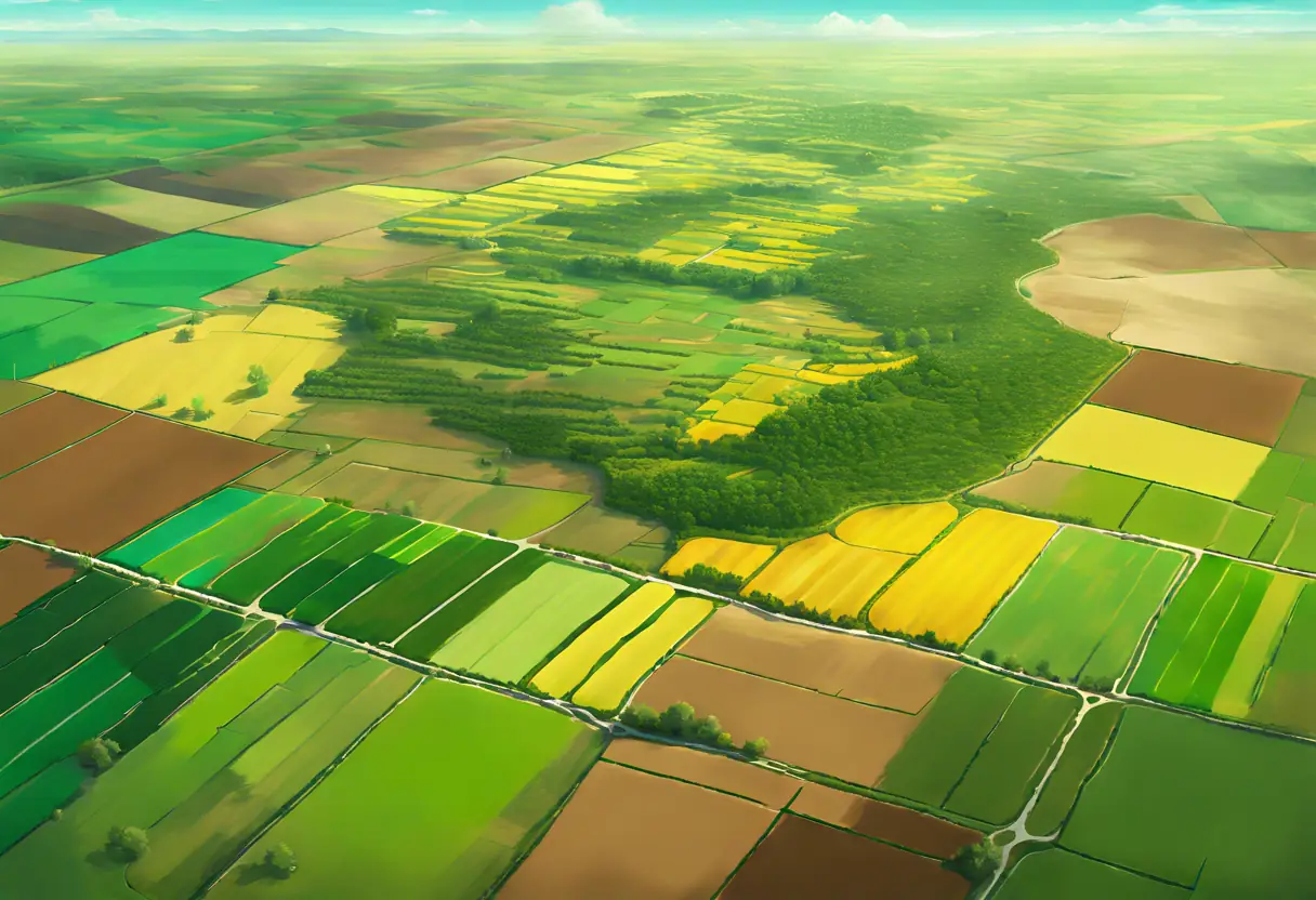
Analyze the growth trends of your crops over time to make informed decisions and optimize your yield.
Plant Counting
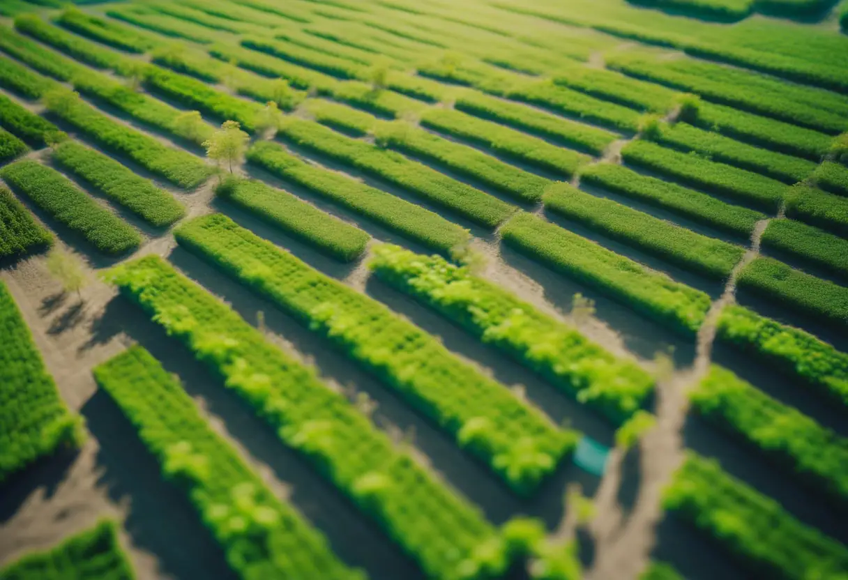
Accurately count and size your plants to monitor their health and ensure optimal growth conditions.
Precision Mapping
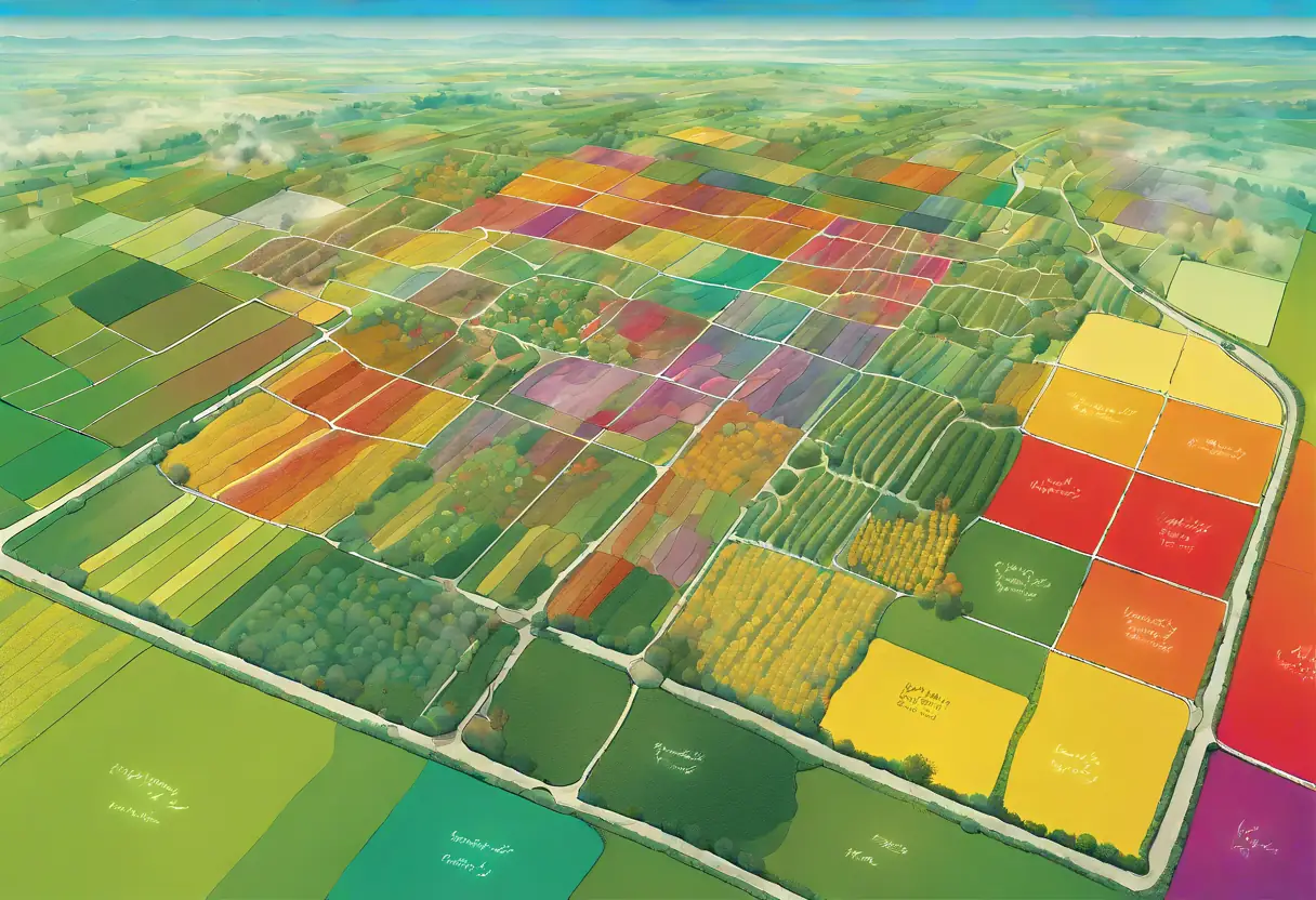
Generate detailed precision maps to identify early indicators of plant stress and apply targeted treatments.
Unlock the Full Potential of Your Crops
Drone Ag Data provides advanced solutions to help you see growth trends, count and size plants, and generate precision maps. Our technology identifies early indicators of plant stress, ensuring you get more yield from your crops.
Increased Yield
Maximize your crop production with our precision mapping and plant analysis tools.
Early Stress Detection
Identify and address plant stress early to prevent crop loss and ensure healthy growth.
Our Cutting-Edge Technology
At Drone Ag Data, we leverage state-of-the-art drone technology and sophisticated software to provide actionable insights for your crops. Our solutions help you monitor growth trends, count plants accurately, and create precision maps to optimize your farming practices.
Growth Trend Analysis
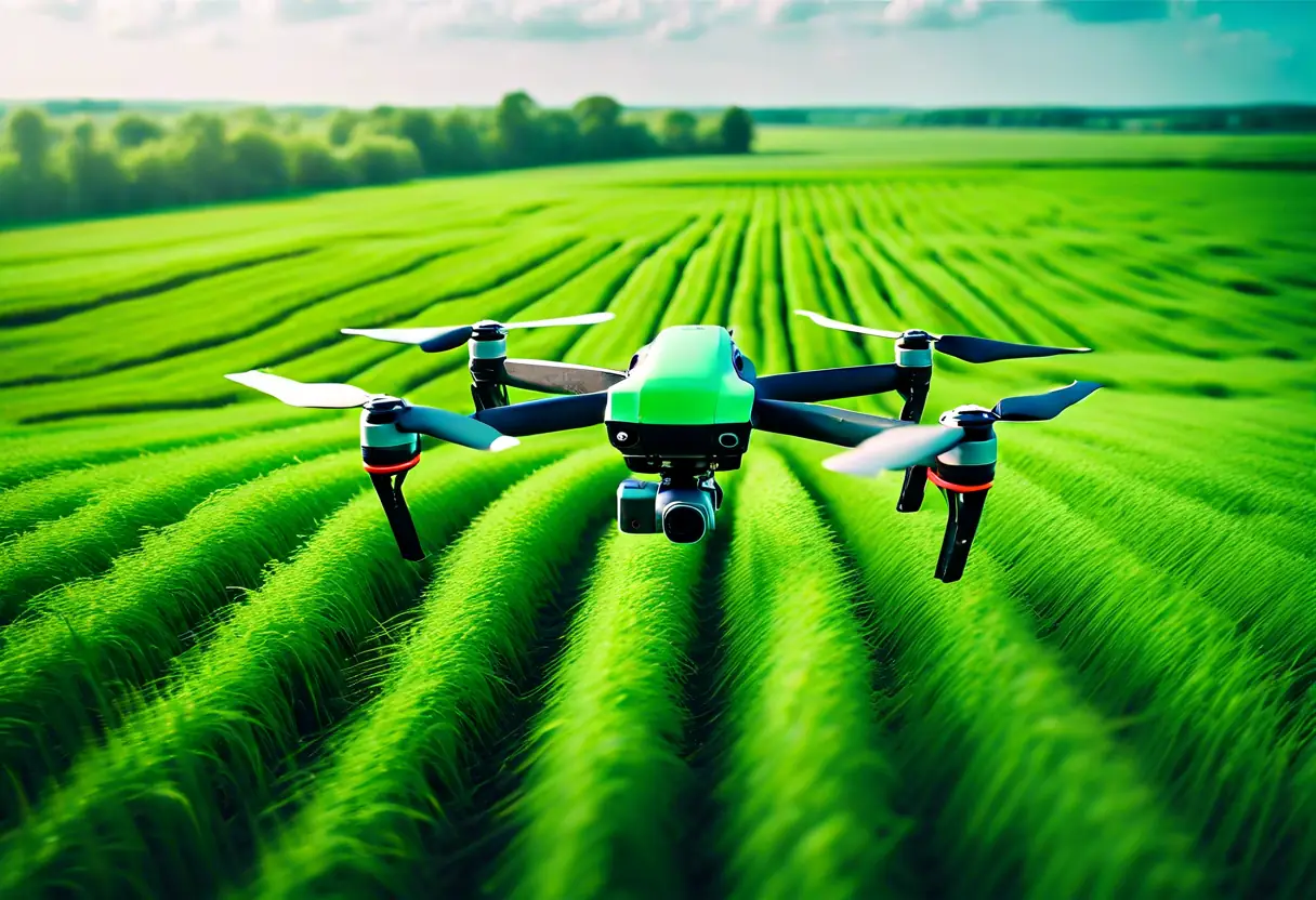
Utilizing advanced drone technology, we analyze growth trends across your fields to provide actionable insights.
Plant Counting
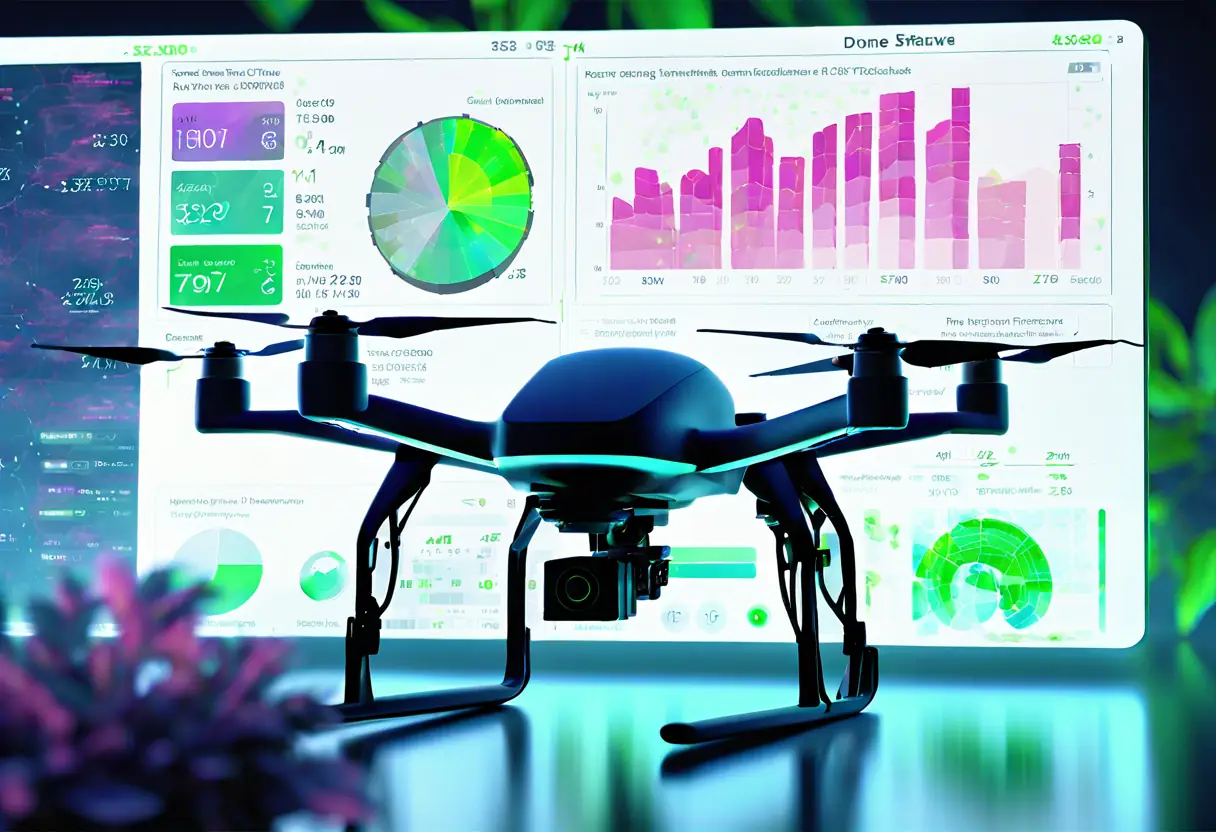
Our drones can accurately count the number of plants in a given area, providing precise data for yield predictions.
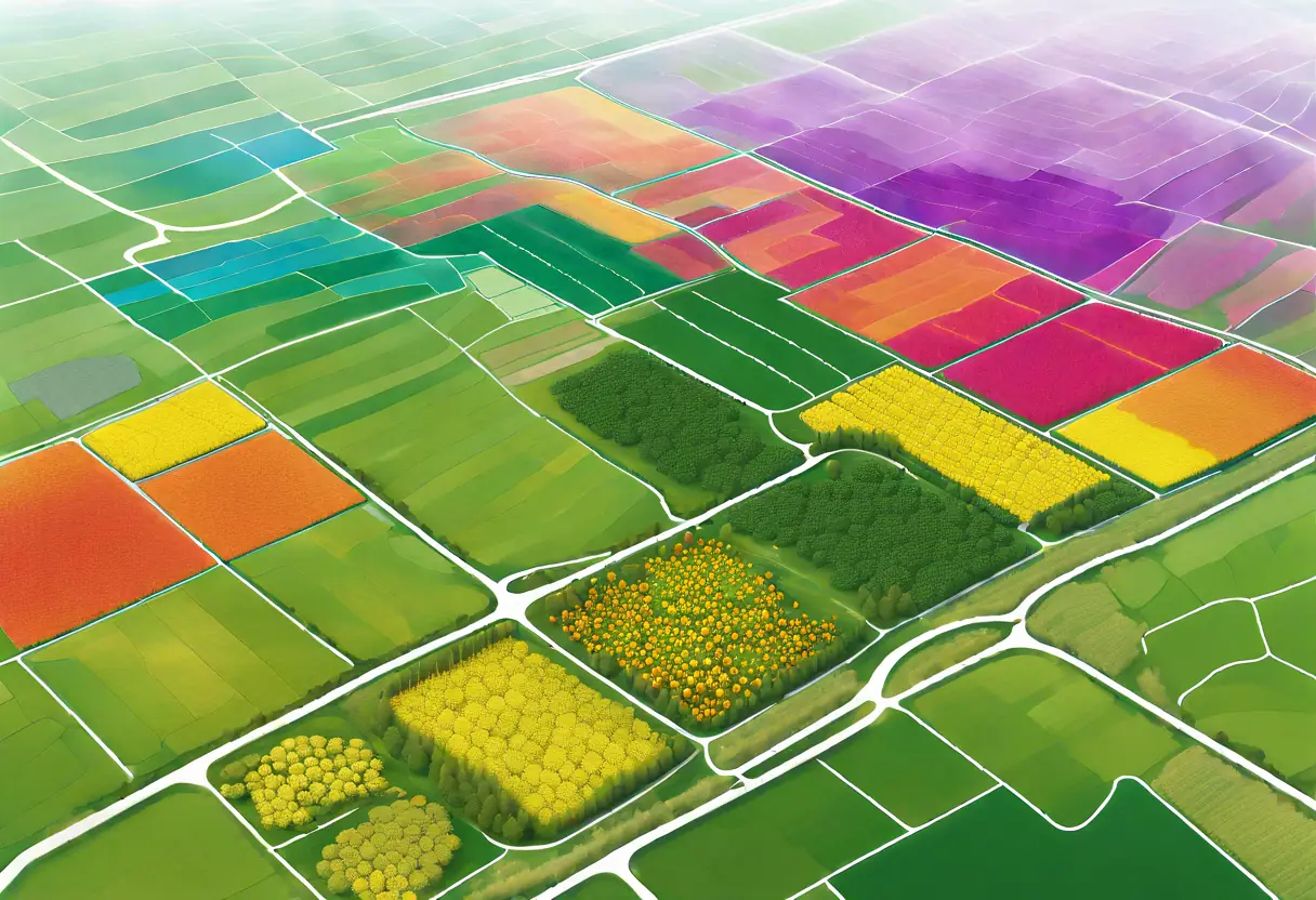
Precision Mapping
We create detailed maps of your fields, highlighting variations in plant health and growth patterns.
Success Stories
Discover how our technology has transformed farming practices and boosted yields for farmers across the region.
Using Drone Ag Data's precision mapping, I increased my corn yield by 20% this season!

The growth trend analysis helped me identify stress in my crops early, saving my harvest.

The plant counting feature allowed me to optimize my planting strategy, leading to better resource management.

Drone Ag Data's insights have been invaluable in improving my organic farming practices.

I was able to generate precision maps that significantly improved my crop planning.

The early indicators of plant stress feature has changed the way we manage our fields.

What Our Clients Say
Discover how Drone Ag Data has transformed farming practices for our clients through innovative technology and insights.
Using Drone Ag Data has revolutionized our crop monitoring. The precision maps have significantly improved our yield.

The growth trend analysis provided by Drone Ag Data is invaluable. It helps us make informed decisions quickly.

I was amazed at how easy it was to identify plant stress early. This service is a game changer for us!

The insights from Drone Ag Data have allowed us to optimize our resources and increase productivity.

Their technology is cutting-edge. The data we receive is accurate and helps us in our research significantly.

I highly recommend Drone Ag Data. Their services have made a noticeable difference in our operations.

Latest Insights in Agtech
Stay updated with our latest articles on Agtech innovations and farming techniques.
The Role of Data in Modern Agriculture
Explore how data-driven decisions are shaping the future of farming.
Understanding Plant Stress Indicators
Discover how early detection of plant stress can save your crops.
Maximizing Crop Yields with Precision Mapping
Learn how precision mapping can lead to better crop management and higher yields.
The Future of Agtech: Drones in Agriculture
Explore how drone technology is revolutionizing the agricultural landscape.
